Tortosa – Móra d’Ebre – Tortosa
Discover the stunning landscapes that this bike route from Tortosa runs through
Bike route from Tortosa to Móra d'Ebre
This route takes us through the rich terrain of the Terres de l’Ebre, alternating between different levels of climbs and varied mountain and delta landscapes for over 99 kilometres.
The circular route starts from the Hotel on the C-12, heading along the left bank of the Ebro River towards Aldover to enjoy the landscapes of the river and the Ebro islands that lie between these two towns. At kilometre 11 of the route, take a 2-kilometre detour from the C-12 to visit the town of Xerta. Upon returning to the road, follow the course of the river until kilometre 21, from where you take the C-43 to start a climb up the slopes of the Aligars-Serra Fulletera.
Begin your ascent on a first ramp of 2 kilometres in length with gradients of up to 10% with a height gain of 179 metres, offering great views of the beauty of this mountain range. Ride 4 kilometres to the town of Pinell de Brai, from where you drop down to Miravet (km 39) to once again see the islands of the Ebro and the riverside woods.
Leave Miravet by the T-324 towards Benissanet (km 46) and Móra d’Ebre (km 48), the northernmost point on the route and where you should cross to the right bank of the Ebro River to take the C-12 southwards and follow the course of the river to Rasquera (km 65). This is the pass into the Serres de Cardó-el Boix massif, where you follow a track with several ups and downs to Benifallet (km 73) at 12 m above sea level. Here there are two 6-8% uphills over more than 600 m.
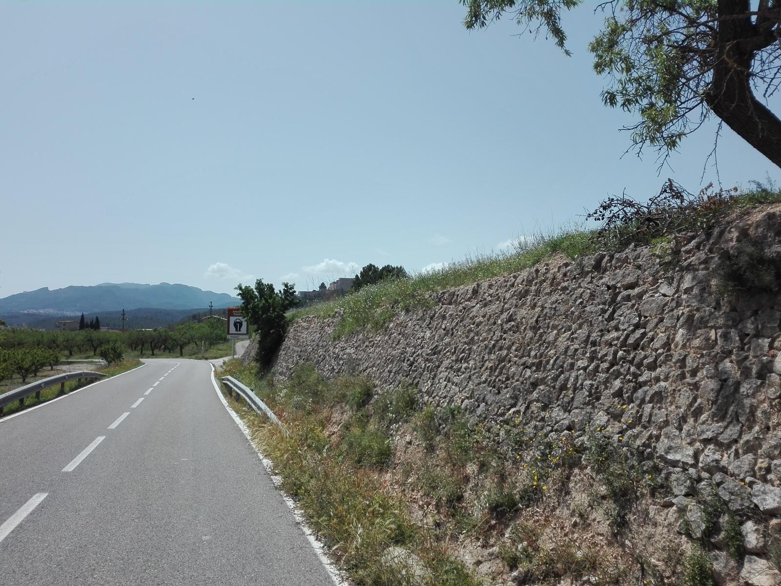
The going is flat from Benifallet, allowing you to enjoy a ride of 24 kilometres along the banks of the Ebro River and fields of fruit trees between the towns of Tivenys, Bítem and Tortosa.
This is a tough route in which the accumulated height gain exceeds 1,225 m, with unique stretches of great beauty.
-

DISTANCE
99.3 km -

DURATION
4.7 h -

HEIGHT GAIN
906 m -

DIFFICULTY
Medium


Gallery


