Tortosa – Coll de l’Alba – Tortosa
Discover the astonishing landscapes of Coll de l'Alba area with this bike route from Tortosa
Bike route from Tortosa to Coll de l'Alba
This route is the ideal way for cyclists who are accustomed to road cycling to technically and physically improve their climbing ability whilst enjoying a wonderful ride alongside the slopes of the Serres de Cardó-el Boix.
The itinerary you are going to follow connects the city with the natural surroundings over a round trip of 35.66 kilometres, of which 5 km are climbs with considerable uphills, at least 3 of which have gradients of over 5% gaining an altitude of 332 m over this stretch.
Once on the route, you will loosen up as you move away from the city of Tortosa in the direction of the Serres de Cardó-el Boix, finding increasingly long hills with higher gradients and a changing pace of pedalling that you will need to know how to manage. The climbs start from the first kilometre, along tracks of an average width that means you have to zigzag upwards the whole way and decrease the relative gradient on the steepest uphills.
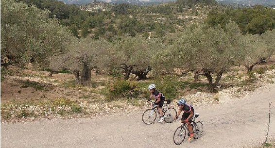
As you enter the Serres you will be able to feel the climb and spot the change in vegetation to olive groves and pine forests. You come to the first steep uphills at kilometre 2 for 353 m with an average gradient of 6% that hardly lets you take a breath before starting another 474 m hill with an average gradient of 9%. Then you can take a bit of rest for less than 1 kilometre before tackling the highest hill on this route and conquering Coll de Alba, a steep uphill of 1,118 m with an average gradient of 10%.
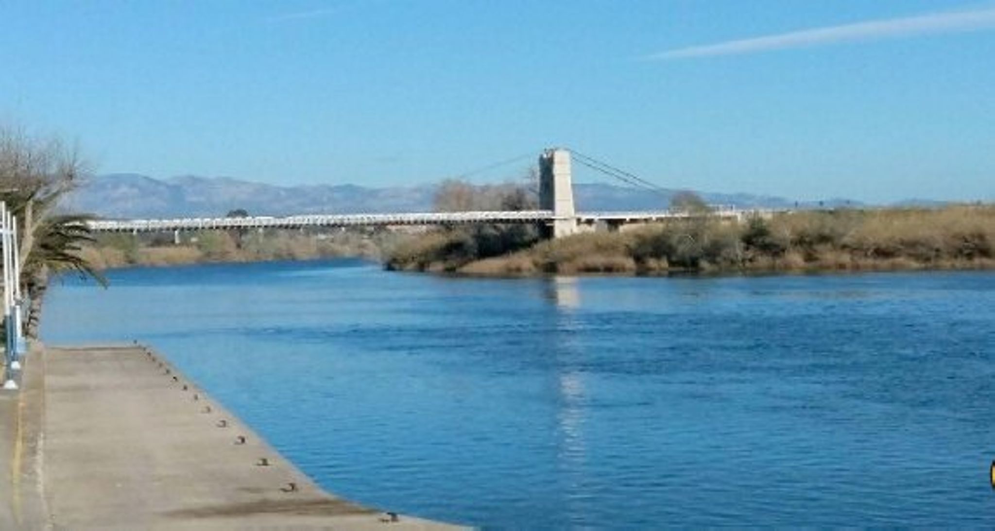
Once at the top of the Coll de l’Alba, start your descent on several asphalted roads along the slopes of the mountain for just over 17 km to the C-42, from where you head in the direction of Campredó, from where you follow the Ebro River closely towards La Petja to enter the city of Tortosa and return to the Hotel, taking the junction for the Pont del Mil·lenari bridge at Plaça Mil·lenari.
-

DISTANCE
35.8 km -

DURATION
1.44 h -

HEIGHT GAIN
404 m -

DIFFICULTY
Medium


Gallery