Tortosa – Sierras de Cardó-el Boix – Tortosa
Discover the stunning landscapes of Serres de Cardó-el Boix area with this MTB route
MTB route from Tortosa to the Serres de Cardó-el Boix area
This route is of intermediate difficulty, and is ideal for working on stamina in the mountains, combining over 33 kilometres of rural tracks, asphalt roads and old rural roads.
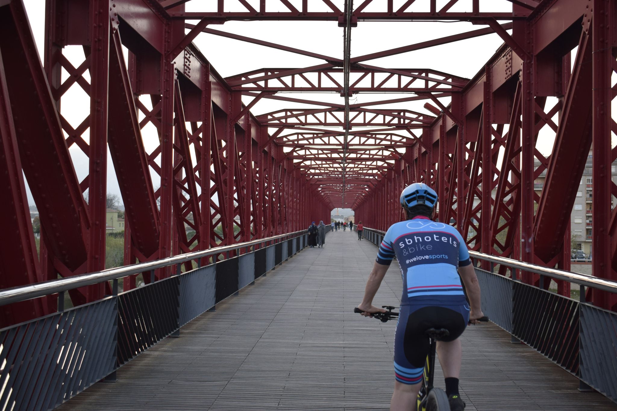
To start this route, take Avinguda de Catalunya and Avinguda de Cristòfol Colom to cross the Ebro River in the direction of the historic centre of Tortosa. Heading north along the Rambla Felip Pedrell, follow the Ebro River, passing the Cathedral of Santa María to turn off onto Carrer Benifallet. Then climb Pujada del Parador, a hill with a gradient of 7% that takes you to the outskirts of the city, leaving behind the gardens of the Jardins del Príncep and the fortifications of Tortosa, part of the historical and monumental heritage of the city of Tortosa and the Terres de l’Ebre.
After leaving the city, continue climbing along the same road via Bassa de Palmers, finding uphill stretches with gradients of up to 11% between kilometres 2 and 5 of the route. From here you find a worn asphalt track with different degrees of difficulty: km 6, interval of 54 m with an average gradient of 13%; km 6.1, interval of 319 m with an average gradient of 20%; km 6.4, interval of 228 m at 10%.
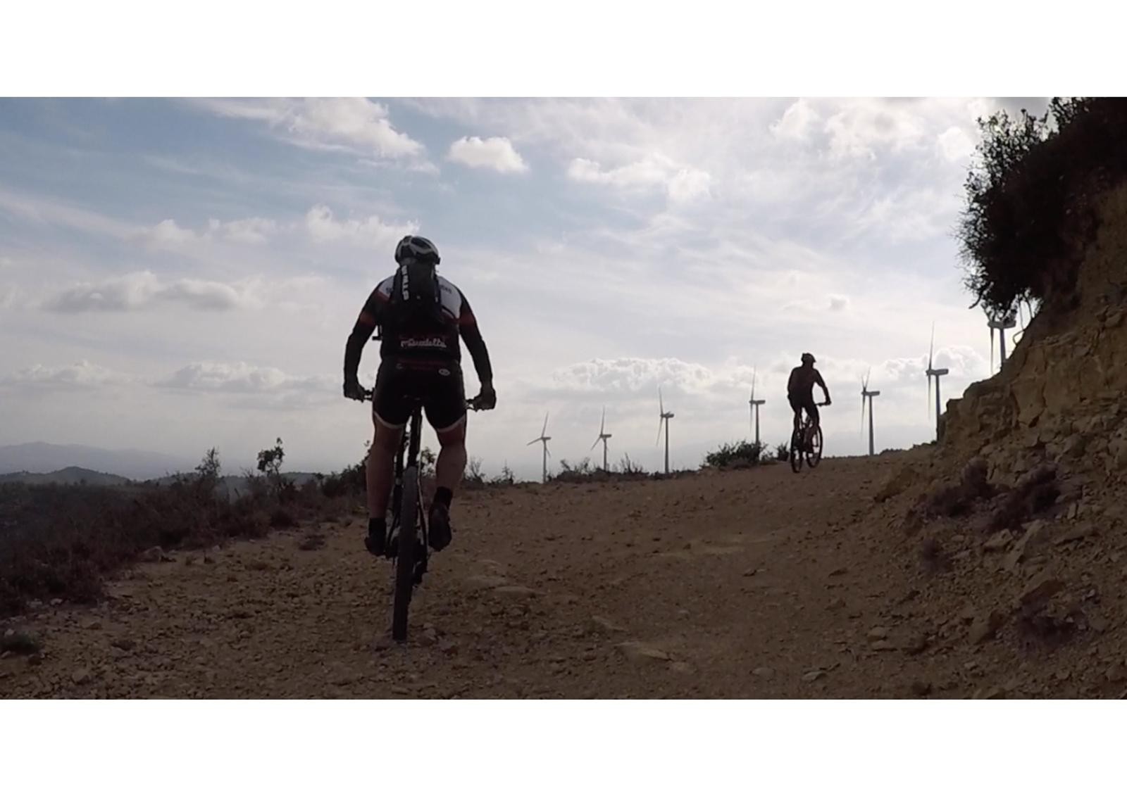
When you reach Bassa de Palmers (km 7), ride an 8-km circuit beginning and ending at the same point to finish this route of ascents and descents on the Serres de Cardó-el Boix massif with occasional gradients of up to 15%.
Once you finish this circuit, turn off onto dirt tracks towards Coll de l’Alba to enjoy different dirt tracks and start descending 9 kilometres to Campredó, where a series of main roads take you towards Tortosa.
On arrival in Tortosa, use the Greenway to cross the river to the left of the city and head towards the Hotel.

DISTANCE
33.9 km
DURATION
3.23 h
HEIGHT GAIN
552 m
DIFFICULTY
Medium


Gallery