Tortosa – Serres de Pàndols-Cavalls – Tortosa
Discover the spectacular landscapes of Serres de Pàndols-Cavalls with this route from Tortosa
MTB route from Tortosa to Serres de Pàndols-Cavalls
This very difficult route links the Terres de l’Ebre with Tarragona’s Terra Alta by paths along the banks of the Ebro, the Serres de Pàndols Cavalls and the asphalt tracks of the Val del Zafán – Baix Ebre Greenway. This 70-kilometre route has an accumulated height gain of 1,466 m.
The first stage of the route takes you along the Baix Ebre Greenway, starting off between Tortosa and Xerta, where the Ebro and the riches of its riverbank accompany and guide you until you enter the Parc Natural dels Ports (km 11), where you take a detour from the Greenway with a first climb of 11% for 507m, crossing forest tracks and roads surrounded by the natural vegetation of the park. From here, follow the Xerta-Sènia Canal until you reach the TV-3541 that you take in the direction of Pauls. Then take the GR-7 path round Tossal del Puig and, from km 23, you enter the north face of the Parc Natural dels Ports along a set of dirt ramps and up to 7 climbs with 10-12% gradients to get to the summit, 831 m up on the slopes of Mola de Garí.
From here, descend to find the village of Prat de Comte (km 38) and continue along the road of the same name until you get to the biggest height gain on the route, a climb of 21% over 113 metres, followed by another of 11% over 84 m that takes us to the Terra Alta Greenway. You will have ridden over 41 kilometres up to this point.
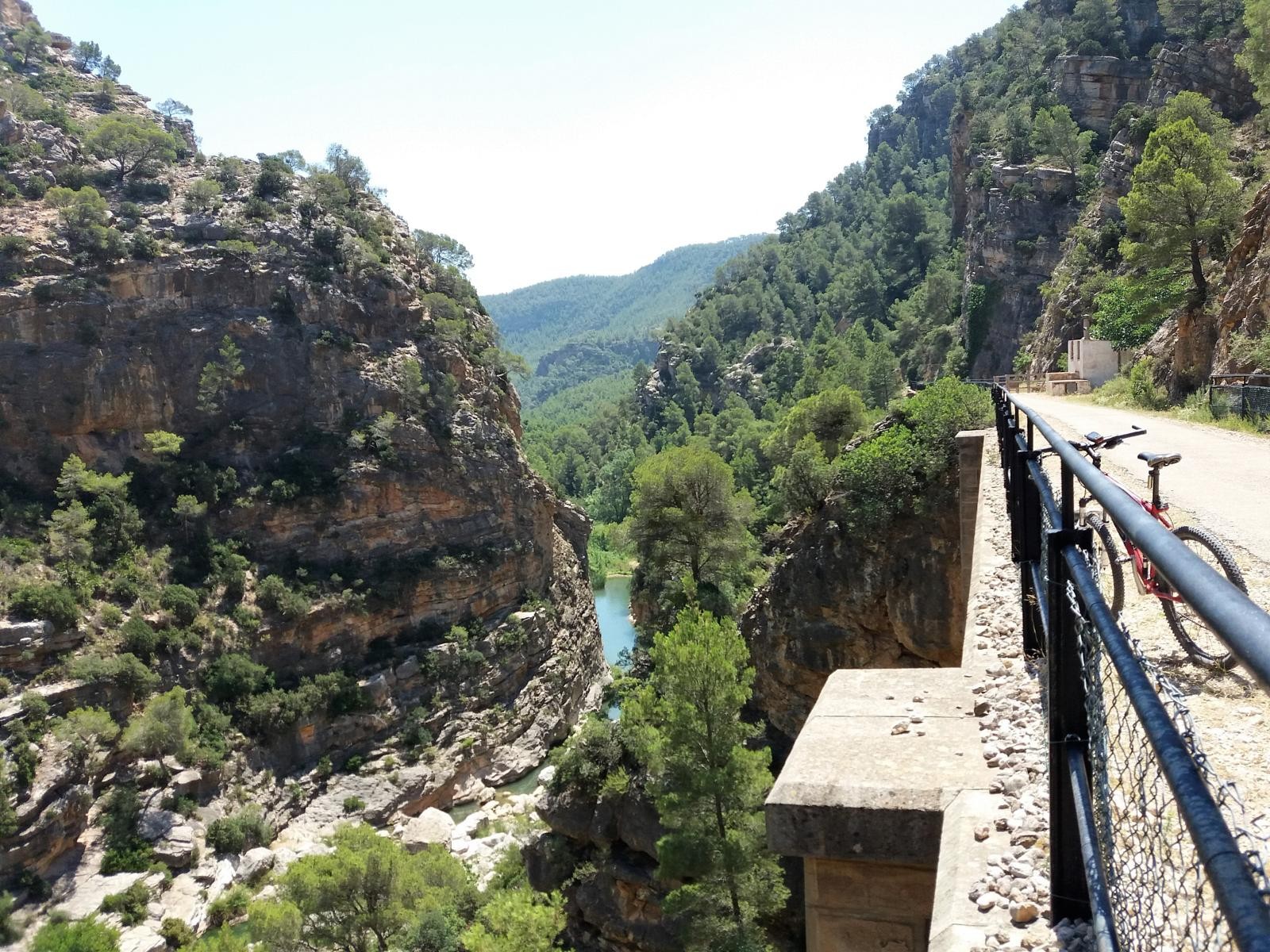
The road back to the Hotel along the Greenway starts from the Fontcalda spa next to the Canaletes River; the scenery of this spot nestled between the mountains will be difficult to forget. Having rested, continue along the Greenway alongside the slopes of the mountains until you pass the viaduct over the Barranc del Molí del Cap to Estaciò de Pinell de Brai (km 51). From here, get back onto the Baix Ebre Greenway for just over 21 kilometres to the Hotel.
-
DISTANCE
73 km -
DURATION
4.28 h -
HEIGHT GAIN
1073 m -

DIFFICULTY
High


